Customers often ask us about pricing for the NavVis VLX wearable, mobile mapping systems we now offer exclusively in Canada. At BuildingPoint Canada, we tailor our NavVis product price quotations to your company’s specific hardware and software needs and unique operational requirements. Our team is always available to provide a customized quotation on request.
As with acquiring any advanced, new instrument, the key consideration is your company’s return on its equipment investment. The NavVis VLX system is proven to cut your project costs in half, speed up operations by a factor of ten and reduce work time by 82%.
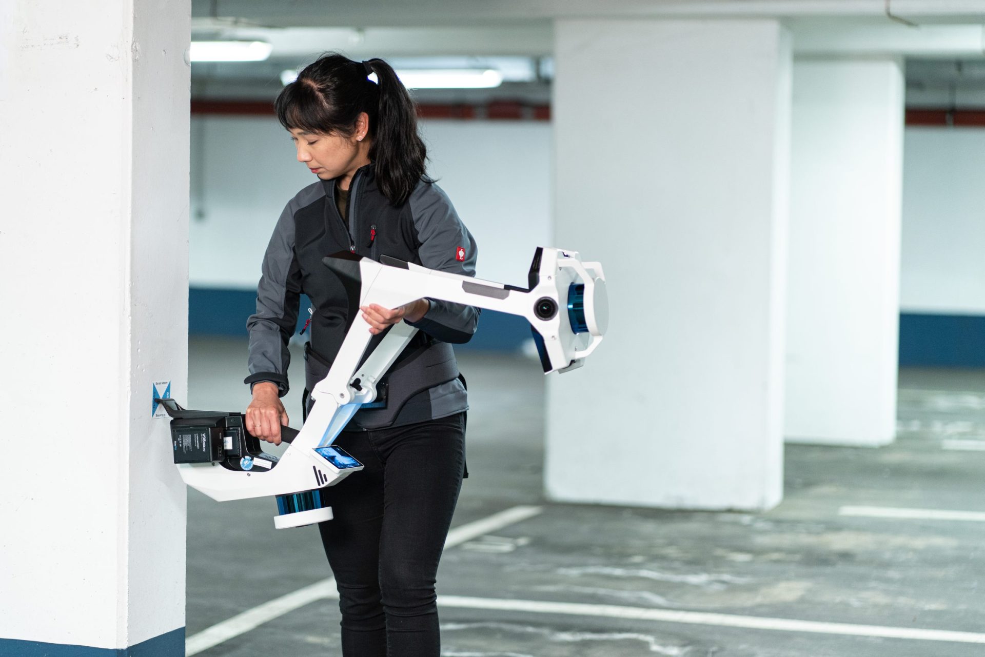
BuildingPoint Canada is now the exclusive Canadian distributor of the revolutionary NavVis VLX system, the most cost-effective and accurate wearable mapping device on the market. It uses the NavVis IVION reality capture platform to deliver more precise, simultaneous location and mapping (SLAM) results ten times faster and for half the cost.
NavVis VLX is the industry-leading, wearable SLAM system. It saves your business time and money by quickly capturing spatial data as you move through even the most complex indoor or outdoor work sites. It combines cutting-edge, precision SLAM technology with advanced LiDAR scanners to provide you and your team with the fastest and most cost-effective way to capture survey-grade layout data.

Faster and More Cost-Effective Mobile Mapping
The NavVis system is ten times faster than any terrestrial laser scanner, enabling you to reduce labour hours by as much as 82%, and cut your project costs in half.
By using the NavVis VLX to deliver better service in less time, your business can gain a price-competitive edge over its competition. The system’s lower project costs allow you to quote pricing that ensures you’re the lowest bidder on potential projects.
Cost-Effective Capture
Here are five reasons why working with the NavVis VLX can save your team time and money, making your company more competitive and profitable.
Reason 1: Rapid Data Acquisition
Using the NavVis VLX, you can spend less time and money onsite by acquiring between 1,000 and 4,500 square metres of survey-grade data in one dataset. You can also cut labour costs by using the cameras to create a comprehensive 360˚ panoramic view of your project site, and you’re never in the field of view.
Reason 2: Efficient Touchscreen Monitoring
You can monitor the scanning process while you work, using the built-in touchscreen interface. Using the screen, you can avoid costly rework because the NavVis VLX efficiently captures every point you need as you walk through the site.

You can scan your site quickly and efficiently, at the same pace as you walk, facing forward as you acquire your data. The NavVis VLX includes grip pads, shoulder pads, and a stabilizing belt to help you work more comfortably.
Reason 3: Proven Time Savings and Accuracy
In a 500-square-metre test environment, the NavVis VLX proved its ability to save your business time and money. The system cut more than 1.5 work hours from location and mapping tasks, while delivering survey-grade point cloud quality with a global accuracy of 5 mm.
Reason 4: Full Compatibility with Existing Instruments
You can use the NavVis VLX with any of BuildingPoint’s current instruments. The system is fully compatible with standard field survey tools, so there are no compatibility or upgrade costs. The NavVis VLX can seamlessly integrate with your existing total stations, terrestrial laser scanners, GNSS rovers, or even an aerial survey drone.

Reason 5: Convenient Portability
When you’ve finished your onsite work, or you need to move between sites, the NavVis VLX has a unique hinged design so you can easily fold it up, and tuck it into its protective hard shell, rolling flight case. You only need to pay one operator to transport, set up, pack up, and put away the NavVis VLX.
Economical Data Processing

Your team can also save time and money processing the data the NavVis VLX captures. You can geo-register your data with coordinates from a local site, a national or a global system, and align it with scan data from your team’s other devices and data sources. The aligned data delivers survey-grade accuracy more quickly and for less money.
The post-processing software also reduces work time and costs by automatically detecting items in motion and removing them from your aligned data.
Streamlined Stakeholder Collaboration and Integration

You can streamline workflows with other project stakeholders, using the NavVis IVION Core reality capture platform. It converts your existing point clouds and panoramic images into web-based building visualizations that everyone can quickly navigate using existing devices, wherever they happen to be working.
Simplified Workflows
Using NavVis IVION Core, you can simplify your mobile mapping workflows, create models in less time, and maximize the value of captured data, making your business even more price competitive.
Third-party Software and Web Browser Integration
You can also save time by cropping and seamlessly downloading your model to third-party software. There’s no need for stakeholders to invest in new applications or training because they can use any popular web browser to navigate the building visualizations quickly and intuitively.
Valuable New Deliverables
NavVis IVION Core gives your business valuable, new 3D deliverables to offer to your project stakeholders. Project teams work faster with the visualizations, helping you deliver quality projects on time and under budget.
BuildingPoint and NavVis Can Help
As Canada’s exclusive distributor of NavVis solutions, BuildingPoint is proud to offer surveyors, engineers, and contractors a new way to save time and reduce costs. NavVis VLX and NavVis IVION deliver the user-friendly tools you need to save time, cut project costs, and make your business more competitive.
BuildingPoint is committed to a cost-effective building information modeling process that all stakeholders can apply at any phase of the design, build, and operate lifecycle of any structure.
To learn more about the business case for the NavVis VLX solution, or to request a customized price quotation for a location and mapping solution that saves your business time and money, contact BuildingPoint Canada today.
Latest Posts
Tekla PowerFab 2025i: New features and integrations now available
The 2025i version of Tekla® PowerFab® is now available, delivering new tools to help fabricators plan more accurately, manage projects…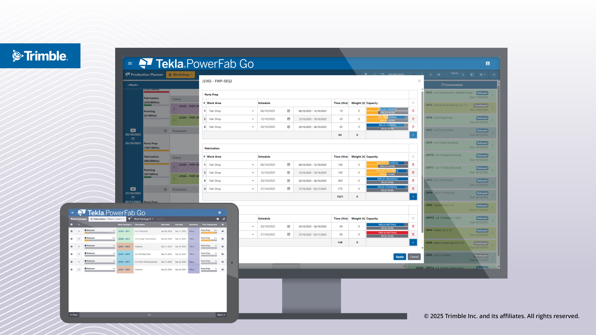
Join BuildingPoint Canada at the 2025 CEC Annual Fundraising Golf Tournament
Join BuildingPoint Canada and the CEC for the 2025 CEC Annual Fundraising Golf Tournament. It will be a special day…
6 Hot Topics Everyone in Construction Is Talking About
The construction world has been buzzing lately, and not just from the sounds on the jobsite. There’s been a ton…