3D Laser Scanning

3d Laser Scanning Solutions

3D Laser Scanning
Trimble X7
High-speed 3D laser scanning system allowing for scan and BIM data to be referenced, registered & refined in the field.
Learn more

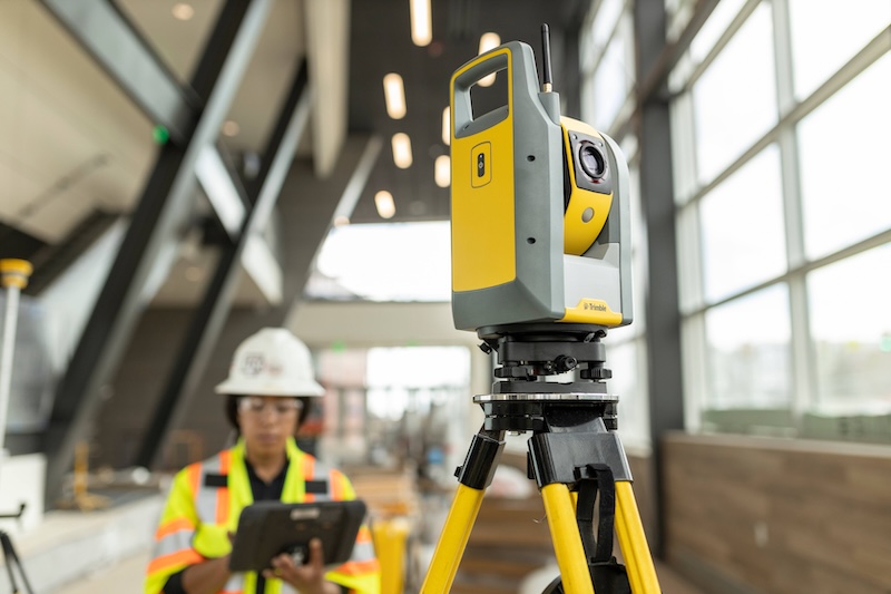
3D Laser Scanning
Trimble X9
An innovative, high-speed 3D laser scanning system with enhanced performance and function to increase efficiency and provide confidence in the field.
Learn more

3D Laser Scanning
NavVis SLAM
Wearable mobile mapping system that delivers comprehensive, highly detailed reality capture data to laser scanning professionals for complex sites, both indoor and outdoor.
Learn more

3D Laser Scanning
Trimble CloudEngine
Trimble Cloud Engine is a powerful, next-generation point cloud application that provides easy-to-use editing, manipulation and analysis tools. Trimble CE will import .DP scan data directly for use in deviation analysis, CAD and scan comparisons, point cloud editing, web publishing, and more.
Learn more

3D Laser Scanning
Trimble RealWorks
Point cloud processing and analysis software for 3D laser scanning professionals.
Learn more
Our Services
We Support You All the Way
Consulting
We work alongside owners, architects, engineers, and contractors to leverage our deep expertise with the client’s goals and objectives to achieve transformational results.
Learn more
Implementation
Our Professional Services Team and certified BuildingPoint partner network have developed a methodology for success for your complex implementations.
Learn more
Support
We are committed to delivering outstanding Customer Support and Service that complements our offerings of world-class products.
Learn more
The Building Chronicle